■ Video call: Anti-Sung YTN Disaster Advisory Committee
* The text below may differ from the actual broadcast content, so please check the broadcast for more accurate information. Please specify [YTN News UP] when quoting.
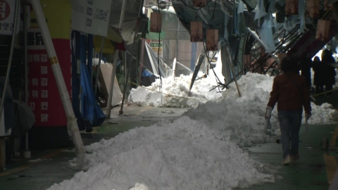
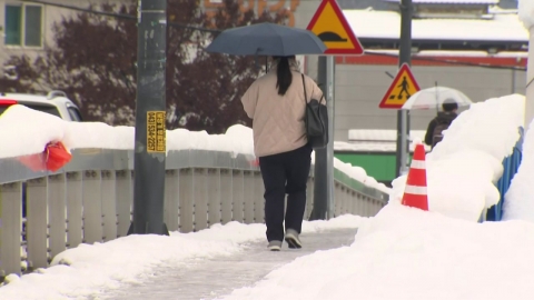
◇Anchor> It is said that Seoul accumulated the most snow this November. It's been 117 years since the weather observation. In the meantime, many people must have thought of Gangwon-do, but where was the reason why it snowed more in the west than in the east and in the metropolitan area?
◆ Ban Ki-sung> In Korea, the East Coast region has the most heavy snow and the second frequency is the West Coast region. It's Jeolla and Jeju on the west coast, but the reason why these areas fall so much is because of the topographic influence. When high pressure expands to the west in winter, heavy snow usually falls on the west coast of Chungnam, Jeolla, and Jeju Island. When this high pressure moves eastward, the east wind enters and heavy snow falls in the east coast, and the amount of heavy snow in the east coast is much higher. Heavy snow in these areas occurs several times every year.
However, it is very rare for heavy snow to fall in Seoul or inland Gangwon, and it is a case where a trough of atmospheric pressure comes in order for heavy snow to fall in this area. The troughs come in and get down, but the troughs come down from the Shandong Peninsula from the north and pass through, so the troughs coming down from the north don't snow that much in the central part of the country. Therefore, this case is very unusual. In the central region, especially yesterday morning, it is mainly in the metropolitan area and Gangwon Province. And last night and today, isn't it concentrated in southern Gyeonggi Province and Chungcheong Province?
The places that fall the most. The biggest reason for this is because, as I told you right away, a powerful snow cloud from a hot sea surface landed on land and encountered a land-based, land-based trough. Since the barometric bone was formed, I've been a forecaster for quite a long time, and it's my first time seeing it. Of course, it's my first time. Since it's a record. So I think it's a very rare case.
◇ Anchor> Then, can we say that there is a good possibility that there will be more heavy snow like yesterday or today in the metropolitan area and the western part of the country in the future?
◆ Ban Ki-sung> As I told you, didn't you break the overall observation record this time? So, I think this is about 200 years in frequency. So, it can be seen as a frequency that can occur about once every 200 years, but with recent climate change, the frequency of this occurrence is getting shorter and shorter. So it's not very likely that the same air pressure pattern will be created. There are many patterns like the Siberian high pressure, for example, where the low pressure is located in the upper part of Vladivostok and the cold air comes down, but this is not a form that often occurs when the sea temperature on the West Sea is very high and the pressure bone is weakly formed in the central part of the country on the way down. But anyway, I think it's more likely that these things will happen more often in the future than before.
Excerpted from
: Lee Sun Digital News Team Editor
#YRecord
※ 'Your report becomes news'
[Kakao Talk] YTN Search and Add Channel
[Phone] 02-398-8585
[Mail] social@ytn.co.kr
[Copyright holder (c) YTN Unauthorized reproduction, redistribution and use of AI data prohibited]


